ARTIFACT SV-A-0000052
An Afternoon at Indian Springs, Looking North
90 page views
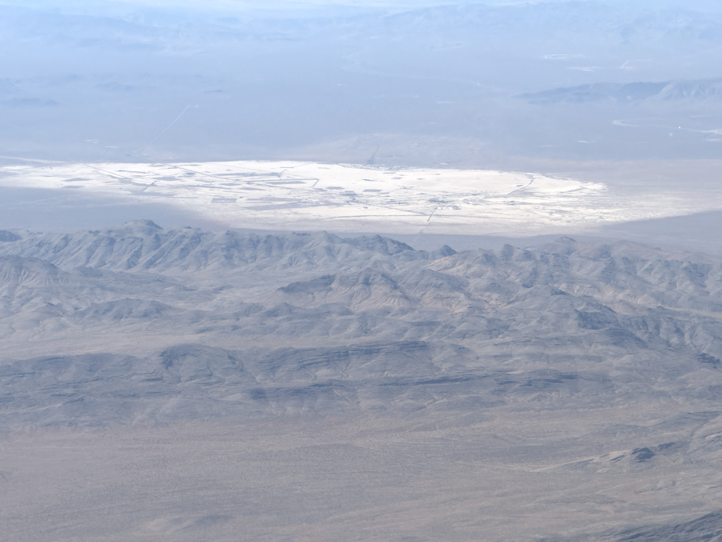
ABOUT THIS IMAGE
An Afternoon at Indian Springs, Looking North
This picture was distinctly photographed on Saturday, September 6, 2025 at 3:46 PM local time during the afternoon within the broader area of Indian Springs. Available solar calculations place the picture in afternoon and daylight. The picture was taken with a Apple iPhone 16 Pro Max. The camera was oriented toward north (N) at approximately 349.5°. The nearest available weather context showed 88°F, clear skies, 16% humidity, S winds around 9 mph, and precipitation 0.00 in, using a source approximately 2.5 mi from the public capture area.
TECHNICAL DETAILSMetadata, capture data & integrityExpand
Public Metadata
Place Resolution
| Candidate | Feature | Source | Distance | Score |
|---|---|---|---|---|
| Indian Springs | place / village | skyview | 10 mi | 171.9 |
| North Ridge | natural / peak | overpass | 6.1 mi | 10.0 |
| Indian Canyon Reservoir | place / natural | skyview | 21 mi | 10.0 |
| Lee Canyon | place / hamlet | skyview | 27 mi | 10.0 |
| Desert View Point | place / locality | skyview | 29 mi | 10.0 |
| Saddle Mountain | natural / peak | skyview | 29 mi | 10.0 |
| Fletcher Peak | natural / peak | skyview | 30 mi | 10.0 |
| Cockscomb Ridge | natural / ridge | skyview | 30 mi | 10.0 |
| 1955 C-54 crash site | historic / historic | skyview | 30 mi | 10.0 |
| Fletcher Spring | natural / spring | skyview | 30 mi | 10.0 |
| Stanley B Springs | natural / spring | skyview | 31 mi | 10.0 |
| Sugar Bunker | place / locality | overpass | 14 mi | 10.0 |
| Mercury | place / hamlet | overpass | 13 mi | 10.0 |
| Desert Rock | place / locality | overpass | 15 mi | 10.0 |
| Cactus Springs | place / locality | overpass | 8.8 mi | 10.0 |
| Aysees Peak | natural / peak | overpass | 13 mi | 10.0 |
| Red Mountain | natural / peak | overpass | 14 mi | 10.0 |
| South Ridge | natural / peak | overpass | 10.0 mi | 10.0 |
| Pink Holes Hill | natural / peak | overpass | 15 mi | 10.0 |
| Encore | military / nuclear_explosion_site | overpass | 11 mi | 10.0 |
| Sanford | military / nuclear_explosion_site | overpass | 11 mi | 10.0 |
| MET (Military Effects Test) | military / nuclear_explosion_site | overpass | 11 mi | 10.0 |
| Priscilla | military / nuclear_explosion_site | overpass | 11 mi | 10.0 |
| Hamilton | military / nuclear_explosion_site | overpass | 11 mi | 10.0 |
| Wrangell | military / nuclear_explosion_site | overpass | 11 mi | 10.0 |
Context & Provenance
| Context | Value | Relationship | Source location | Source / provider | Observed / retrieved |
|---|---|---|---|---|---|
| camera_direction capture | 349.52 degrees | nearby | Not location-based | Original Artifact EXIF / Embedded Metadata · GPSImgDirection provider_distance | Retrieved: 2026-09-19 09:52:10.504042+00 |
| Indian Springs place | nearby | 36.57672, -115.67015 10 mi from public capture point | SkyView Internal Resolver · place:57 point_to_point | Retrieved: 2026-10-18 22:54:23.252199+00 | |
| local_date time | 2025-09-06 | nearby | Not location-based | SkyView Astronomy Engine · solar-v1 provider_distance | Observed: 2025-09-06 22:46:11+00 Retrieved: 2026-09-19 09:52:10.526809+00 |
| local_time time | 3:46 PM | nearby | Not location-based | SkyView Astronomy Engine · solar-v1 provider_distance | Observed: 2025-09-06 22:46:11+00 Retrieved: 2026-09-19 09:52:10.527762+00 |
| month time | September | nearby | Not location-based | SkyView Astronomy Engine · solar-v1 provider_distance | Observed: 2025-09-06 22:46:11+00 Retrieved: 2026-09-19 09:52:10.524841+00 |
| season time | fall | nearby | Not location-based | SkyView Astronomy Engine · solar-v1 provider_distance | Observed: 2025-09-06 22:46:11+00 Retrieved: 2026-09-19 09:52:10.523912+00 |
| solar_azimuth time | 245.57 degrees | nearby | Not location-based | SkyView Astronomy Engine · solar-v1 provider_distance | Observed: 2025-09-06 22:46:11+00 Retrieved: 2026-09-19 09:52:10.529733+00 |
| solar_elevation time | 37.92 degrees | nearby | Not location-based | SkyView Astronomy Engine · solar-v1 provider_distance | Observed: 2025-09-06 22:46:11+00 Retrieved: 2026-09-19 09:52:10.528773+00 |
| solar_period time | daylight | nearby | Not location-based | SkyView Astronomy Engine · solar-v1 provider_distance | Observed: 2025-09-06 22:46:11+00 Retrieved: 2026-09-19 09:52:10.52067+00 |
| time_period time | afternoon | nearby | Not location-based | SkyView Astronomy Engine · solar-v1 provider_distance | Observed: 2025-09-06 22:46:11+00 Retrieved: 2026-09-19 09:52:10.521666+00 |
| timezone time | America/Los_Angeles | nearby | Not location-based | Open-Meteo · timezone:36.700,-115.770 provider_distance | Effective: 2025-09-06 22:46:11+00 Retrieved: 2026-09-19 09:52:10.517753+00 |
| weekday time | saturday | nearby | Not location-based | SkyView Astronomy Engine · solar-v1 provider_distance | Observed: 2025-09-06 22:46:11+00 Retrieved: 2026-09-19 09:52:10.522931+00 |
| year time | 2025 | nearby | Not location-based | SkyView Astronomy Engine · solar-v1 provider_distance | Observed: 2025-09-06 22:46:11+00 Retrieved: 2026-09-19 09:52:10.525852+00 |
| precipitation weather | 0.00 inch | nearby | 36.73111, -115.74803 2.5 mi from public capture point | Open-Meteo · grid:36.7311,-115.7480:2025-09-06-15 point_to_point | Observed: 2025-09-06 22:46:11+00 Retrieved: 2026-09-19 09:52:10.511361+00 |
| relative_humidity weather | 16.00 % | nearby | 36.73111, -115.74803 2.5 mi from public capture point | Open-Meteo · grid:36.7311,-115.7480:2025-09-06-15 point_to_point | Observed: 2025-09-06 22:46:11+00 Retrieved: 2026-09-19 09:52:10.5103+00 |
| surface_pressure weather | 26.01 inHg | nearby | 36.73111, -115.74803 2.5 mi from public capture point | Open-Meteo · grid:36.7311,-115.7480:2025-09-06-15 point_to_point | Observed: 2025-09-06 22:46:11+00 Retrieved: 2026-09-19 09:52:10.512432+00 |
| temperature weather | 88.00 °F | nearby | 36.73111, -115.74803 2.5 mi from public capture point | Open-Meteo · grid:36.7311,-115.7480:2025-09-06-15 point_to_point | Observed: 2025-09-06 22:46:11+00 Retrieved: 2026-09-19 09:52:10.509165+00 |
| weather_condition weather | clear skies | nearby | 36.73111, -115.74803 2.5 mi from public capture point | Open-Meteo · grid:36.7311,-115.7480:2025-09-06-15 point_to_point | Observed: 2025-09-06 22:46:11+00 Retrieved: 2026-09-19 09:52:10.515837+00 |
| wind_direction weather | 194.00 degrees | nearby | 36.73111, -115.74803 2.5 mi from public capture point | Open-Meteo · grid:36.7311,-115.7480:2025-09-06-15 point_to_point | Observed: 2025-09-06 22:46:11+00 Retrieved: 2026-09-19 09:52:10.514842+00 |
| wind_speed weather | 8.70 mp/h | nearby | 36.73111, -115.74803 2.5 mi from public capture point | Open-Meteo · grid:36.7311,-115.7480:2025-09-06-15 point_to_point | Observed: 2025-09-06 22:46:11+00 Retrieved: 2026-09-19 09:52:10.513855+00 |
Integrity
0453505ca88d6a874561defaa9da4aa72ed5aaca464f904e0513ea783d3c22ebNearby SkyView data
Geographic relationships around this record, using published coordinates. Distances are approximate and source locations may have different accuracy.
The radius with the most records opens automatically. All other radii remain available below.
500 m / 0.31 mi (3 records)
Artifacts (3)
FCC sites (0)
No nearby records in this radius.
Minerals (0)
No nearby records in this radius.
Environmental stations (0)
No nearby records in this radius.
100 m / 0.06 mi (1 records)
FCC sites (0)
No nearby records in this radius.
Minerals (0)
No nearby records in this radius.
Environmental stations (0)
No nearby records in this radius.
250 m / 0.16 mi (2 records)
Artifacts (2)
FCC sites (0)
No nearby records in this radius.
Minerals (0)
No nearby records in this radius.
Environmental stations (0)
No nearby records in this radius.
1 km / 0.62 mi (4 records)
Artifacts (4)
 An Afternoon at Indian Springs, Looking North
47 m / 0.03 mi · 2025-09-06 22:46:10+00
 An Afternoon at Indian Springs, Looking North
140 m / 0.09 mi · 2025-09-06 22:46:14+00
 An Afternoon at Indian Springs, Looking North
280 m / 0.17 mi · 2025-09-06 22:46:17+00
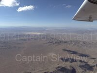 An Afternoon at Indian Springs, Looking North
835 m / 0.52 mi · 2025-09-06 22:46:29+00
FCC sites (0)
No nearby records in this radius.
Minerals (0)
No nearby records in this radius.
Environmental stations (0)
No nearby records in this radius.
5 km / 3.11 mi (11 records)
Artifacts (11)
An Afternoon at Indian Springs, Looking North47 m / 0.03 mi · 2025-09-06 22:46:10+00
An Afternoon at Indian Springs, Looking North140 m / 0.09 mi · 2025-09-06 22:46:14+00
An Afternoon at Indian Springs, Looking North280 m / 0.17 mi · 2025-09-06 22:46:17+00
An Afternoon at Indian Springs, Looking North835 m / 0.52 mi · 2025-09-06 22:46:29+00
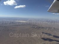 An Afternoon at Indian Springs, Looking West
1.20 km / 0.75 mi · 2025-09-06 22:46:37+00
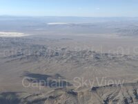 An Afternoon at Indian Springs, Looking North
1.31 km / 0.81 mi · 2025-09-06 22:45:44+00
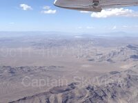 An Afternoon at Indian Springs, Looking Northeast
1.46 km / 0.91 mi · 2025-09-06 22:45:41+00
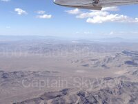 An Afternoon at Indian Springs, Looking Northeast
1.57 km / 0.97 mi · 2025-09-06 22:45:39+00
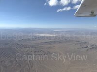 An Afternoon at North Ridge, Looking North
3.36 km / 2.09 mi · 2025-09-06 22:47:20+00
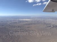 An Afternoon at North Ridge, Looking North
3.47 km / 2.16 mi · 2025-09-06 22:47:22+00
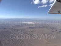 An Afternoon at North Ridge, Looking North
3.63 km / 2.26 mi · 2025-09-06 22:47:25+00
FCC sites (0)
No nearby records in this radius.
Minerals (0)
No nearby records in this radius.
Environmental stations (0)
No nearby records in this radius.