PLACE SV-P-0000049
Henderson
23 page views
ABOUT THIS PLACE
Henderson is recorded in the Captain SkyView archive as a City. The mapped elevation is approximately 1,867 ft. SkyView currently contains 22 public artifacts with a public location inside this place area.
PLACE DETAILS
Henderson
- Type
- City
- Location
- Henderson
- Map point
- 36.03196, -114.98227
- Map area
- Point radius (3,280 ft)
- Elevation
- 1,867 ft
- Source
- Overpass
- Source ID
- node:150950536
- Source refreshed
- September 18, 2026
LANDSCAPE TOPICS
What is documented here
Intermediate volcanic rocks geologyTa3 geologyTva geologyUndifferentiated Paleoproterozoic rocks geologyXm geologyXu geologyBelmont-Phoenix Mine mineBlack Mountain Mining Co. mineBlossom Mine mineBoston Mine mineBuster Claim mineCamp Dupont Group mineEldorado Crown Mining Co. mineEldorado Empire Mining Co. mineEldorado Rand Group mineEldorado Rover Mining Co. mineGolden Empire mineJ. E. T. mineJubilee Mine mineMontana Claim mineNob Hill Group mineOakland Group minePatsy Prospect minePompeii Mine mineSouthern Nevada Mine mineTechatticup Mine mineVirginian Prospect mineWall Street Mine mineWilloro Project mineYucca Mine/Desert Queen Mill mine
Adventures here
INSIDE THIS PLACE
Artifacts in this area
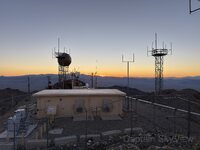
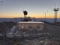
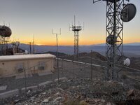
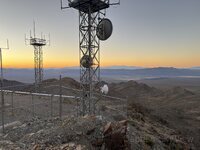
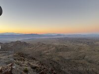
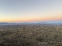
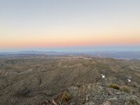
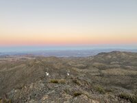
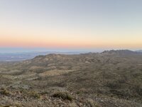
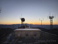
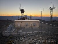
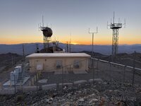
22 public artifacts whose public location falls inside this Place.